 vesseltracker.com
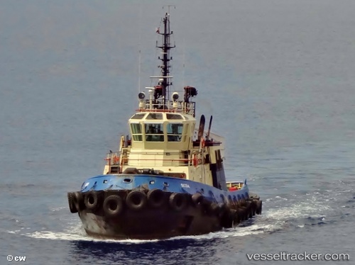
Vessel Ocoa IMO: 9256585, MMSI: 327802000 Tug
UTC, 17.70596, -64.77088, course: 341, speed: 0
UTC, 17.70595, -64.77087, course: 340, speed: 0.2
2026-01-27 11:27:42 UTC, 17.70596, -64.77090, course: 340, speed: 0.1
Live AIS position:
UTC. Near Anguilla),
updated 2026-01-27 11:27:42 UTC.
Find the position of the vessel Ocoa on the map. The latter are known coordinates and path.
marine traffic ship tracker show on live map
The current position of vessel Ocoa is 17.70596 lat / -64.77090 lng. Updated: 2026-01-27 11:27:42 UTCDetails:
Last coordinates of the vessel:
UTC, 17.70597, -64.77087, course: 341, speed: 0UTC, 17.70596, -64.77088, course: 341, speed: 0
UTC, 17.70595, -64.77087, course: 340, speed: 0.2
2026-01-27 11:27:42 UTC, 17.70596, -64.77090, course: 340, speed: 0.1