 vesseltracker.com
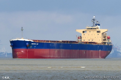
Vessel Omicron Sky IMO: 9330329, MMSI: 636017169 Bulk Carrier
UTC, 20.53280, 62.96995, course: 129, speed: 9.6
UTC, 20.42008, 63.10737, course: 133, speed: 9.6
2026-02-21 08:10:26 UTC, 20.14730, 63.43072, course: 129, speed: 9.4
Live AIS position:
UTC. 259 nm E of MASIRAH),
updated 2026-02-21 08:10:26 UTC.
Find the position of the vessel Omicron Sky on the map. The latter are known coordinates and path.
marine traffic ship tracker show on live map
The current position of vessel Omicron Sky is 20.14730 lat / 63.43072 lng. Updated: 2026-02-21 08:10:26 UTCDetails:
Last coordinates of the vessel:
UTC, 20.86715, 62.57653, course: 138, speed: 9.4UTC, 20.53280, 62.96995, course: 129, speed: 9.6
UTC, 20.42008, 63.10737, course: 133, speed: 9.6
2026-02-21 08:10:26 UTC, 20.14730, 63.43072, course: 129, speed: 9.4