 vesseltracker.com
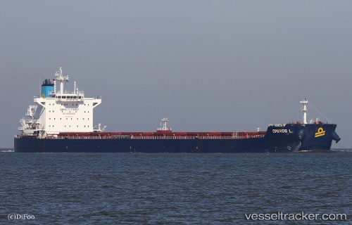
Find the position of the vessel Omiros L on the map. The latter are known coordinates and path.
marine traffic ship tracker show on live map
The current position of vessel Omiros L is -24.90979 lat / 50.21600 lng. Updated: 2025-10-28 18:06:43 UTCDetails:
Last coordinates of the vessel:
UTC, -25.20587, 49.61461, course: 61, speed: 11.4UTC, -25.15637, 49.71311, course: 62, speed: 11.5
UTC, -25.06378, 49.90359, course: 63, speed: 11.4
2025-10-28 18:06:43 UTC, -24.90979, 50.21600, course: 61, speed: 11.2