 vesseltracker.com
Live AIS position:
39.59973° N, 25.96253° E UTC. Near Baba Point),
updated 2025-11-23 06:14:43 UTC.
Find the position of the vessel Ommax on the map. The latter are known coordinates and path.
marine traffic ship tracker show on live map
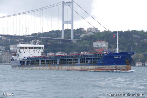
The current position of vessel Ommax is 39.59973 lat / 25.96253 lng. Updated: 2025-11-23 06:14:43 UTCCurrently sailing under the flag of Comoros
Ommax built in 2010 year
Deadweight:
3662 tDetails:
Last coordinates of the vessel:
UTC, 39.86063, 26.09032, course: 193, speed: 7.2UTC, 39.80982, 26.09143, course: 169, speed: 7.1
UTC, 39.59973, 25.96253, course: 202, speed: 6.6
2025-11-23 06:14:43 UTC, 39.59973, 25.96253, course: 202, speed: 6.6