 vesseltracker.com
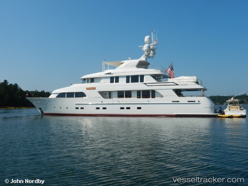
Vessel Onika IMO: 1012373, MMSI: 367618660 Service Ship
Live AIS position:
UTC. 27 nm W of Cape Eleuthera),
updated 2026-01-05 08:35:21 UTC.
Find the position of the vessel Onika on the map. The latter are known coordinates and path.
marine traffic ship tracker show on live map
The current position of vessel Onika is 24.71333 lat / -76.83500 lng. Updated: 2026-01-05 08:35:21 UTCDetails:
Last coordinates of the vessel:
2026-01-05 08:35:21 UTC, 24.71333, -76.83500, course: -1, speed: 0