 vesseltracker.com
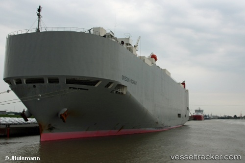
Vessel Oregon Highway IMO: 9381665, MMSI: 352929000 Vehicles Carrier
UTC, -37.84135, 144.90399, course: 163, speed: 0
UTC, -37.84135, 144.90401, course: 163, speed: 0
2026-02-23 02:04:35 UTC, -37.84132, 144.90401, course: 163, speed: 0
Live AIS position:
UTC. Near Spotswood),
updated 2026-02-23 02:04:35 UTC.
Find the position of the vessel Oregon Highway on the map. The latter are known coordinates and path.
marine traffic ship tracker show on live map
The current position of vessel Oregon Highway is -37.84132 lat / 144.90401 lng. Updated: 2026-02-23 02:04:35 UTCDetails:
Last coordinates of the vessel:
UTC, -37.84137, 144.90399, course: 163, speed: 0UTC, -37.84135, 144.90399, course: 163, speed: 0
UTC, -37.84135, 144.90401, course: 163, speed: 0
2026-02-23 02:04:35 UTC, -37.84132, 144.90401, course: 163, speed: 0