 vesseltracker.com
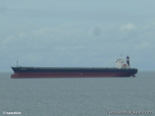
Vessel Oriental Frontier IMO: 9214056, MMSI: 441628000 Bulk Carrier
UTC, 12.57667, 120.35333, course: -1, speed: 13
UTC, 12.31304, 120.47339, course: 153, speed: 12.9
2026-02-04 11:57:46 UTC, 11.80333, 120.48667, course: -1, speed: 12
Live AIS position:
UTC. 20 nm SE of CORON),
updated 2026-02-04 11:57:46 UTC.
Find the position of the vessel Oriental Frontier on the map. The latter are known coordinates and path.
marine traffic ship tracker show on live map
The current position of vessel Oriental Frontier is 11.80333 lat / 120.48667 lng. Updated: 2026-02-04 11:57:46 UTCDetails:
Last coordinates of the vessel:
UTC, 13.09857, 120.13772, course: 160, speed: 11.8UTC, 12.57667, 120.35333, course: -1, speed: 13
UTC, 12.31304, 120.47339, course: 153, speed: 12.9
2026-02-04 11:57:46 UTC, 11.80333, 120.48667, course: -1, speed: 12