 vesseltracker.com
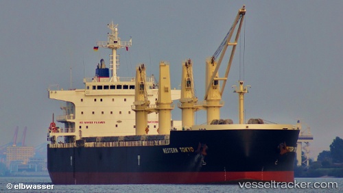
Vessel Osios David IMO: 9593361, MMSI: 538008032 Bulk Carrier
UTC, 6.09063, 1.30986, course: 223, speed: 0.1
UTC, 6.09044, 1.31009, course: 233, speed: 0.2
2026-02-05 23:53:51 UTC, 6.09033, 1.31018, course: 234, speed: 0
Live AIS position:
UTC. Near Ablogamé),
updated 2026-02-05 23:53:51 UTC.
Find the position of the vessel Osios David on the map. The latter are known coordinates and path.
marine traffic ship tracker show on live map
The current position of vessel Osios David is 6.09033 lat / 1.31018 lng. Updated: 2026-02-05 23:53:51 UTCDetails:
Last coordinates of the vessel:
UTC, 6.09068, 1.30963, course: 216, speed: 0.1UTC, 6.09063, 1.30986, course: 223, speed: 0.1
UTC, 6.09044, 1.31009, course: 233, speed: 0.2
2026-02-05 23:53:51 UTC, 6.09033, 1.31018, course: 234, speed: 0