 vesseltracker.com
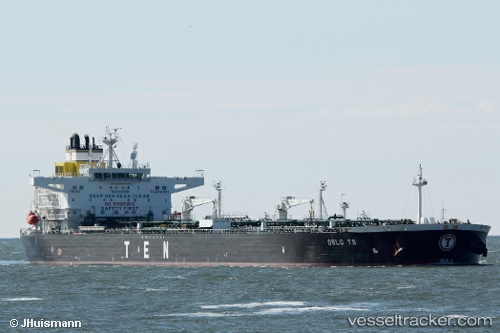
Vessel Oslo Ts IMO: 9737383, MMSI: 248006000 Crude Oil Tanker
UTC, 54.45105, 18.86024, course: 61, speed: 0
UTC, 54.45155, 18.86001, course: 74, speed: 0.1
2026-02-05 19:20:05 UTC, 54.45154, 18.86003, course: 74, speed: 0.1
Live AIS position:
UTC. Near Górki Zachodnie),
updated 2026-02-05 19:20:05 UTC.
Find the position of the vessel Oslo Ts on the map. The latter are known coordinates and path.
marine traffic ship tracker show on live map
The current position of vessel Oslo Ts is 54.45154 lat / 18.86003 lng. Updated: 2026-02-05 19:20:05 UTCCurrently sailing under the flag of Malta
Details:
Last coordinates of the vessel:
UTC, 54.45130, 18.86010, course: 69, speed: 0UTC, 54.45105, 18.86024, course: 61, speed: 0
UTC, 54.45155, 18.86001, course: 74, speed: 0.1
2026-02-05 19:20:05 UTC, 54.45154, 18.86003, course: 74, speed: 0.1