 vesseltracker.com
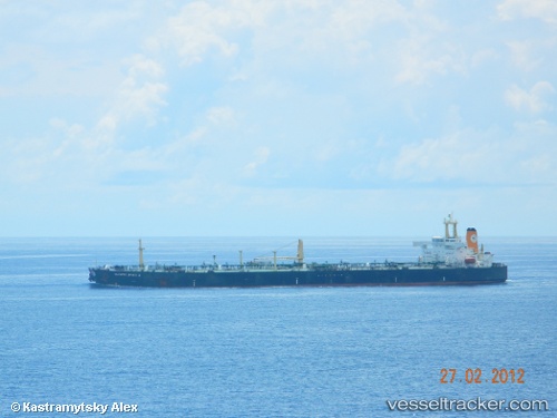
Find the position of the vessel PABLO on the map. The latter are known coordinates and path.
marine traffic ship tracker show on live map
The current position of vessel PABLO is 9.19879 lat / 7.18755 lng. Updated: 2024-10-04 14:49:00 UTCship's destination: TEMA
Currently sailing under the flag of Gabon
PABLO built in 1997 year
Deadweight:
96773 tDetails:
Last coordinates of the vessel:
2024-10-04 14:49:00 UTC, 9.19879, 7.18755, destination: TEMA, course: 720, speed: 0