 vesseltracker.com
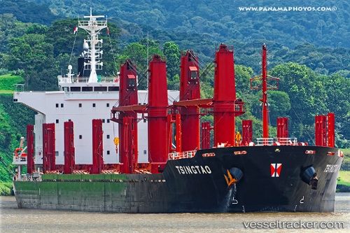
Vessel OCEAN JIN IMO: 9768942, MMSI: 440057000
UTC, -13.95327, 116.90509, course: 342, speed: 12
UTC, -13.53764, 116.79565, course: 344, speed: 12.1
2026-01-30 17:48:53 UTC, -13.14215, 116.69335, course: 347, speed: 12.1
Live AIS position:
UTC. 255 nm S of BENETE),
updated 2026-01-30 17:48:53 UTC.
Find the position of the vessel OCEAN JIN on the map. The latter are known coordinates and path.
marine traffic ship tracker show on live map
The current position of vessel OCEAN JIN is -13.14215 lat / 116.69335 lng. Updated: 2026-01-30 17:48:53 UTCDetails:
Last coordinates of the vessel:
UTC, -14.33809, 117.00634, course: 340, speed: 12UTC, -13.95327, 116.90509, course: 342, speed: 12
UTC, -13.53764, 116.79565, course: 344, speed: 12.1
2026-01-30 17:48:53 UTC, -13.14215, 116.69335, course: 347, speed: 12.1