 vesseltracker.com
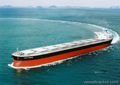
Vessel PANDA IMO: 9296212, MMSI: 538009966 Bulk Carrier
UTC, 20.98144, 37.92591, course: 338, speed: 12.2
UTC, 21.24242, 37.78546, course: 338, speed: 12.5
2026-01-29 02:16:25 UTC, 21.76875, 37.49441, course: 337, speed: 11.8
Live AIS position:
UTC. 94 nm W of Tusdeer Free Zone),
updated 2026-01-29 02:16:25 UTC.
Find the position of the vessel PANDA on the map. The latter are known coordinates and path.
marine traffic ship tracker show on live map
The current position of vessel PANDA is 21.76875 lat / 37.49441 lng. Updated: 2026-01-29 02:16:25 UTCCurrently sailing under the flag of Marshall Islands
PANDA built in 2004 year
Deadweight:
180181 tDetails:
Last coordinates of the vessel:
UTC, 20.62299, 38.11986, course: 337, speed: 12.5UTC, 20.98144, 37.92591, course: 338, speed: 12.2
UTC, 21.24242, 37.78546, course: 338, speed: 12.5
2026-01-29 02:16:25 UTC, 21.76875, 37.49441, course: 337, speed: 11.8