 vesseltracker.com
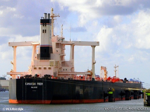
Vessel PAPA IMO: 9331244, MMSI: 352001096 Crude Oil Tanker
Live AIS position:
UTC. 62 nm NW of Igloolik),
updated 2025-12-11 09:30:14 UTC.
Find the position of the vessel PAPA on the map. The latter are known coordinates and path.
marine traffic ship tracker show on live map
The current position of vessel PAPA is 70.23982 lat / -83.38517 lng. Updated: 2025-12-11 09:30:14 UTCCurrently sailing under the flag of Panama
PAPA built in 2006 year
Deadweight:
299235 tDetails:
Last coordinates of the vessel:
2025-12-11 09:30:14 UTC, 70.23982, -83.38517, course: 271, speed: 0.7