 vesseltracker.com
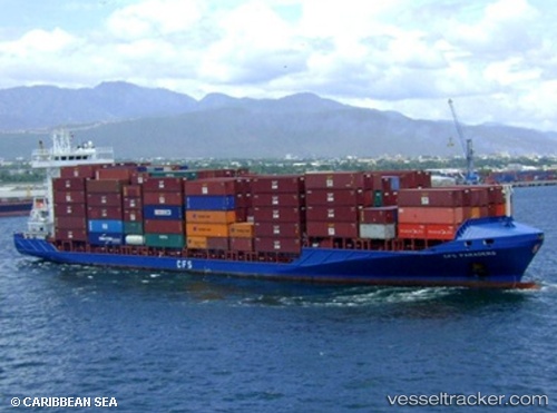
Vessel 305723000 IMO: 9368998, MMSI: 305723000
UTC, 25.39904, -79.47840, course: 351, speed: 10.1
UTC, 25.67500, -79.53833, course: -1, speed: 8
2026-01-28 07:46:11 UTC, 25.88263, -79.76207, course: 298, speed: 6.4
Live AIS position:
UTC. 19 nm E of Bal Harbour),
updated 2026-01-28 07:46:11 UTC.
Find the position of the vessel 305723000 on the map. The latter are known coordinates and path.
marine traffic ship tracker show on live map
The current position of vessel 305723000 is 25.88263 lat / -79.76207 lng. Updated: 2026-01-28 07:46:11 UTCDetails:
Last coordinates of the vessel:
UTC, 25.16833, -79.42667, course: -1, speed: 9UTC, 25.39904, -79.47840, course: 351, speed: 10.1
UTC, 25.67500, -79.53833, course: -1, speed: 8
2026-01-28 07:46:11 UTC, 25.88263, -79.76207, course: 298, speed: 6.4