 vesseltracker.com
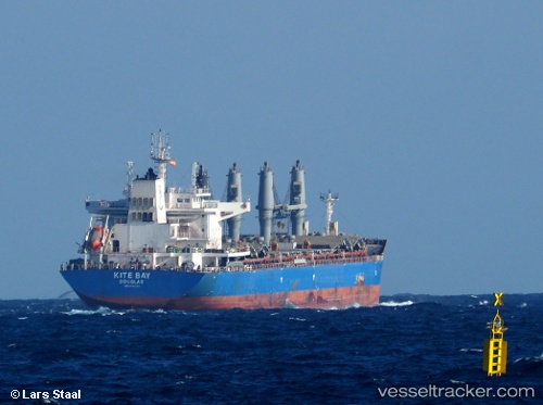
Live AIS position:
25.78596° N, 55.34181° E UTC. 18 nm NW of Umm al Quwain),
updated 2025-10-12 03:37:36 UTC.
Find the position of the vessel PAUL BAY on the map. The latter are known coordinates and path.
marine traffic ship tracker show on live map
The current position of vessel PAUL BAY is 25.78596 lat / 55.34181 lng. Updated: 2025-10-12 03:37:36 UTCCurrently sailing under the flag of Marshall Islands
PAUL BAY built in 2016 year
Deadweight:
38330 tDetails:
Last coordinates of the vessel:
2025-10-12 03:37:36 UTC, 25.78596, 55.34181, course: 231, speed: 24Track of the vessel in the last 14 days