 vesseltracker.com
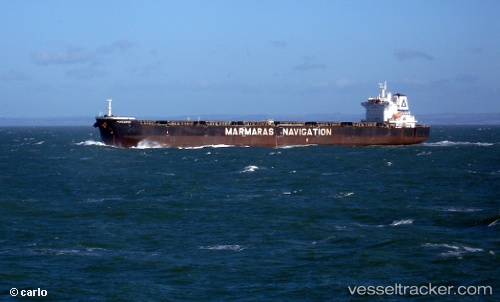
Vessel PERGAMOS IMO: 9343833, MMSI: 636022073 Bulk Carrier
UTC, 31.23905, 124.83263, course: 180, speed: 12.6
UTC, 30.85047, 124.81355, course: 184, speed: 13.2
2026-01-27 15:16:36 UTC, 30.19080, 124.68072, course: 198, speed: 13
Live AIS position:
UTC. 113 nm E of Lü-hua Shan),
updated 2026-01-27 15:16:36 UTC.
Find the position of the vessel PERGAMOS on the map. The latter are known coordinates and path.
marine traffic ship tracker show on live map
The current position of vessel PERGAMOS is 30.19080 lat / 124.68072 lng. Updated: 2026-01-27 15:16:36 UTCCurrently sailing under the flag of Liberia
PERGAMOS built in 2007 year
Deadweight:
92832 tDetails:
Last coordinates of the vessel:
UTC, 31.67660, 124.81472, course: 180, speed: 11.4UTC, 31.23905, 124.83263, course: 180, speed: 12.6
UTC, 30.85047, 124.81355, course: 184, speed: 13.2
2026-01-27 15:16:36 UTC, 30.19080, 124.68072, course: 198, speed: 13