 vesseltracker.com
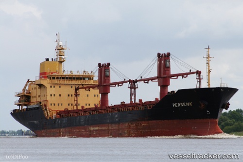
Vessel PLUTUS IMO: 9132519, MMSI: 511100630 Bulk Carrier
Live AIS position:
UTC. Near Marmara Adasi),
updated 2025-07-20 01:21:37 UTC.
Find the position of the vessel PLUTUS on the map. The latter are known coordinates and path.
marine traffic ship tracker show on live map
The current position of vessel PLUTUS is 40.66124 lat / 27.47177 lng. Updated: 2025-07-20 01:21:37 UTCCurrently sailing under the flag of Palau
PLUTUS built in 1998 year
Deadweight:
13902 tDetails:
Last coordinates of the vessel:
2025-07-20 01:21:37 UTC, 40.66124, 27.47177, course: -1, speed: 9.8