 vesseltracker.com
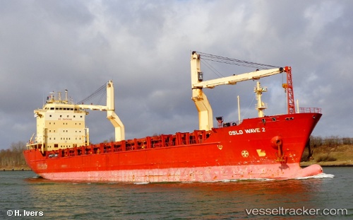
Vessel POLA DUDINKA IMO: 9190107, MMSI: 273292470 General Cargo Ship
UTC, 64.59121, 40.49643, course: 336, speed: 0
UTC, 64.59121, 40.49643, course: 336, speed: 0
2026-02-13 17:38:16 UTC, 64.59117, 40.49641, course: 334, speed: 0
Live AIS position:
UTC. Near ARKHANGELSK),
updated 2026-02-13 17:38:16 UTC.
Find the position of the vessel POLA DUDINKA on the map. The latter are known coordinates and path.
marine traffic ship tracker show on live map
The current position of vessel POLA DUDINKA is 64.59117 lat / 40.49641 lng. Updated: 2026-02-13 17:38:16 UTCCurrently sailing under the flag of Russia
POLA DUDINKA built in 2000 year
Deadweight:
17072 tDetails:
Last coordinates of the vessel:
UTC, 64.59119, 40.49645, course: 336, speed: 0UTC, 64.59121, 40.49643, course: 336, speed: 0
UTC, 64.59121, 40.49643, course: 336, speed: 0
2026-02-13 17:38:16 UTC, 64.59117, 40.49641, course: 334, speed: 0