 vesseltracker.com
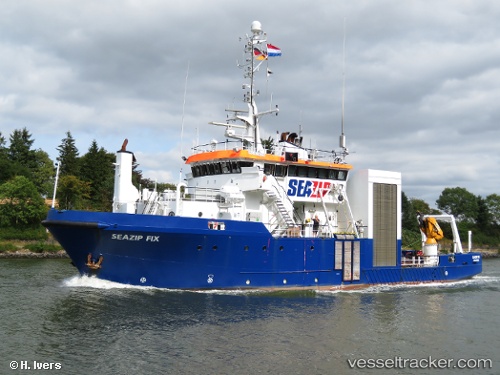
Vessel POLARXPLORER IMO: 8019409, MMSI: 259090000 Standby-Safety Vessel
UTC, 69.64750, 18.97967, course: 353, speed: 0
UTC, 69.64747, 18.97961, course: 352, speed: 0
2026-02-07 05:58:09 UTC, 69.64749, 18.97963, course: 353, speed: 0
Live AIS position:
UTC. Near Tromso),
updated 2026-02-07 05:58:09 UTC.
Find the position of the vessel POLARXPLORER on the map. The latter are known coordinates and path.
marine traffic ship tracker show on live map
The current position of vessel POLARXPLORER is 69.64749 lat / 18.97963 lng. Updated: 2026-02-07 05:58:09 UTCCurrently sailing under the flag of Norway (NIS)
POLARXPLORER built in 1981 year
Deadweight:
325 tDetails:
Last coordinates of the vessel:
UTC, 69.64748, 18.97965, course: 353, speed: 0UTC, 69.64750, 18.97967, course: 353, speed: 0
UTC, 69.64747, 18.97961, course: 352, speed: 0
2026-02-07 05:58:09 UTC, 69.64749, 18.97963, course: 353, speed: 0