 vesseltracker.com
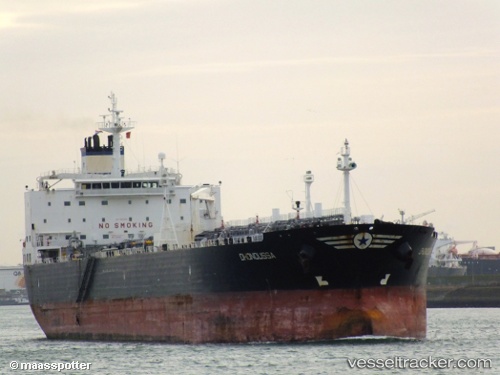
Vessel PONE IMO: 9306562, MMSI: 630001105 Crude Oil Tanker
UTC, 37.42213, 119.94692, course: 89, speed: 0
UTC, 37.42214, 119.94692, course: 89, speed: 0
2026-01-13 11:39:10 UTC, 37.42215, 119.94696, course: 89, speed: 0
Live AIS position:
UTC. 11 nm NE of Taipingwan),
updated 2026-01-13 11:39:10 UTC.
Find the position of the vessel PONE on the map. The latter are known coordinates and path.
marine traffic ship tracker show on live map
The current position of vessel PONE is 37.42215 lat / 119.94696 lng. Updated: 2026-01-13 11:39:10 UTCCurrently sailing under the flag of Guinea-Bissau
PONE built in 0 year
Deadweight:
0 tDetails:
Last coordinates of the vessel:
UTC, 37.42216, 119.94688, course: 89, speed: 0UTC, 37.42213, 119.94692, course: 89, speed: 0
UTC, 37.42214, 119.94692, course: 89, speed: 0
2026-01-13 11:39:10 UTC, 37.42215, 119.94696, course: 89, speed: 0