 vesseltracker.com
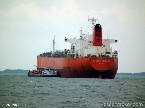
Vessel POREWIT IMO: 9302865, MMSI: 354248000 Oil Products Tanker
UTC, 1.77086, 104.67862, course: 358, speed: 0.4
UTC, 1.55450, 104.58331, course: 234, speed: 8.4
2026-01-31 19:45:12 UTC, 1.37310, 104.39499, course: 237, speed: 7
Live AIS position:
UTC. 14 nm E of PENGERANG),
updated 2026-01-31 19:45:12 UTC.
Find the position of the vessel POREWIT on the map. The latter are known coordinates and path.
marine traffic ship tracker show on live map
The current position of vessel POREWIT is 1.37310 lat / 104.39499 lng. Updated: 2026-01-31 19:45:12 UTCCurrently sailing under the flag of Panama
POREWIT built in 2004 year
Deadweight:
45718 tDetails:
Last coordinates of the vessel:
UTC, 1.76998, 104.67857, course: 1, speed: 0UTC, 1.77086, 104.67862, course: 358, speed: 0.4
UTC, 1.55450, 104.58331, course: 234, speed: 8.4
2026-01-31 19:45:12 UTC, 1.37310, 104.39499, course: 237, speed: 7