 vesseltracker.com
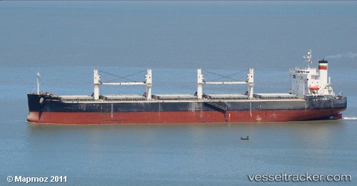
Vessel PORT MACAU IMO: 9423475, MMSI: 538008252
UTC, -7.08303, -26.83118, course: 125, speed: 10.3
UTC, -7.28820, -26.51696, course: 125, speed: 10.3
2026-02-01 04:20:44 UTC, -7.51833, -26.16167, course: -1, speed: 10
Live AIS position:
UTC. 255 nm SE of Aquiraz),
updated 2026-02-01 04:20:44 UTC.
Find the position of the vessel PORT MACAU on the map. The latter are known coordinates and path.
marine traffic ship tracker show on live map
The current position of vessel PORT MACAU is -7.51833 lat / -26.16167 lng. Updated: 2026-02-01 04:20:44 UTCDetails:
Last coordinates of the vessel:
UTC, -6.88776, -27.13086, course: 124, speed: 10.4UTC, -7.08303, -26.83118, course: 125, speed: 10.3
UTC, -7.28820, -26.51696, course: 125, speed: 10.3
2026-02-01 04:20:44 UTC, -7.51833, -26.16167, course: -1, speed: 10