 vesseltracker.com
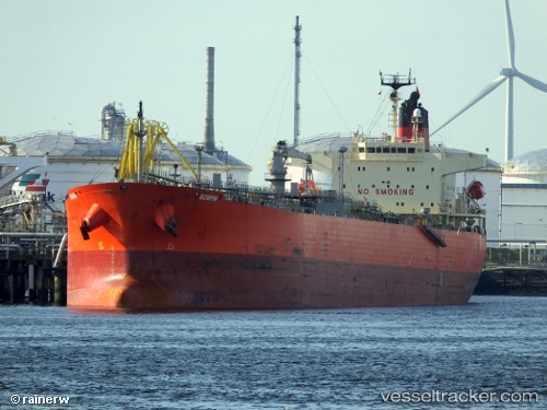
Vessel PRAVASI IMO: 9409467, MMSI: 632001125 Oil Products Tanker
UTC, 11.66040, 43.18021, course: 87, speed: 0
UTC, 11.66068, 43.18021, course: 98, speed: 0
2026-01-31 06:05:04 UTC, 11.66064, 43.18016, course: 93, speed: 0
Live AIS position:
UTC. Near Djibouti),
updated 2026-01-31 06:05:04 UTC.
Find the position of the vessel PRAVASI on the map. The latter are known coordinates and path.
marine traffic ship tracker show on live map
The current position of vessel PRAVASI is 11.66064 lat / 43.18016 lng. Updated: 2026-01-31 06:05:04 UTCCurrently sailing under the flag of Guinea
PRAVASI built in 0 year
Deadweight:
0 tDetails:
Last coordinates of the vessel:
UTC, 11.66045, 43.18027, course: 88, speed: 0UTC, 11.66040, 43.18021, course: 87, speed: 0
UTC, 11.66068, 43.18021, course: 98, speed: 0
2026-01-31 06:05:04 UTC, 11.66064, 43.18016, course: 93, speed: 0