 vesseltracker.com
Find the position of the vessel PRINCE JAMESON I on the map. The latter are known coordinates and path.
marine traffic ship tracker show on live map
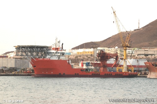
The current position of vessel PRINCE JAMESON I is 4.26745 lat / 8.20679 lng. Updated: 2025-10-24 12:25:41 UTCCurrently sailing under the flag of Nigeria
PRINCE JAMESON I built in 2008 year
Deadweight:
4811 tDetails:
Last coordinates of the vessel:
UTC, 4.26658, 8.20555, course: 190, speed: 0UTC, 4.26657, 8.20554, course: 190, speed: 0
UTC, 4.26742, 8.20706, course: 20, speed: 0
2025-10-24 12:25:41 UTC, 4.26745, 8.20679, course: 28, speed: 0.3