 vesseltracker.com
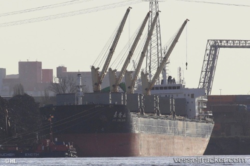
Vessel PROTECTOR ST. NICKOLAS IMO: 9602978, MMSI: 636021852 Bulk Carrier
UTC, 24.73215, 58.08015, course: 67, speed: 0.7
UTC, 24.71824, 58.05550, course: 87, speed: 0.6
2026-02-05 07:38:00 UTC, 24.70960, 58.04399, course: 80, speed: 0.5
Live AIS position:
UTC. 58 nm S of JASK),
updated 2026-02-05 07:38:00 UTC.
Find the position of the vessel PROTECTOR ST. NICKOLAS on the map. The latter are known coordinates and path.
marine traffic ship tracker show on live map
The current position of vessel PROTECTOR ST. NICKOLAS is 24.70960 lat / 58.04399 lng. Updated: 2026-02-05 07:38:00 UTCCurrently sailing under the flag of Liberia
PROTECTOR ST. NICKOLAS built in 2011 year
Deadweight:
56603 tDetails:
Last coordinates of the vessel:
UTC, 24.74182, 58.10656, course: 62, speed: 0.8UTC, 24.73215, 58.08015, course: 67, speed: 0.7
UTC, 24.71824, 58.05550, course: 87, speed: 0.6
2026-02-05 07:38:00 UTC, 24.70960, 58.04399, course: 80, speed: 0.5