 vesseltracker.com
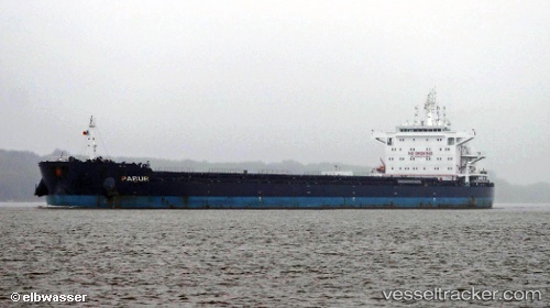
Find the position of the vessel Pabur on the map. The latter are known coordinates and path.
marine traffic ship tracker show on live map
The current position of vessel Pabur is -2.04278 lat / 104.97878 lng. Updated: 2025-10-22 07:27:42 UTCCurrently sailing under the flag of Antigua Barbuda
Pabur built in 2012 year
Deadweight:
75426 tDetails:
Last coordinates of the vessel:
UTC, -2.04068, 104.97860, course: 238, speed: 0UTC, -2.04016, 104.97796, course: 208, speed: 0
UTC, -2.04220, 104.97898, course: 286, speed: 0.1
2025-10-22 07:27:42 UTC, -2.04278, 104.97878, course: 304, speed: 0.2