 vesseltracker.com
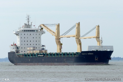
Vessel Pacific Harmony IMO: 9701451, MMSI: 477790300 Multi Purpose Carrier
UTC, 23.10875, 67.29086, course: 101, speed: 9.7
UTC, 23.05296, 67.65668, course: 115, speed: 10.3
2026-02-01 14:04:54 UTC, 22.98102, 68.01578, course: 104, speed: 11.3
Live AIS position:
UTC. 67 nm NW of Okha),
updated 2026-02-01 14:04:54 UTC.
Find the position of the vessel Pacific Harmony on the map. The latter are known coordinates and path.
marine traffic ship tracker show on live map
The current position of vessel Pacific Harmony is 22.98102 lat / 68.01578 lng. Updated: 2026-02-01 14:04:54 UTCDetails:
Last coordinates of the vessel:
UTC, 23.16386, 66.86739, course: 97, speed: 9.6UTC, 23.10875, 67.29086, course: 101, speed: 9.7
UTC, 23.05296, 67.65668, course: 115, speed: 10.3
2026-02-01 14:04:54 UTC, 22.98102, 68.01578, course: 104, speed: 11.3