 vesseltracker.com
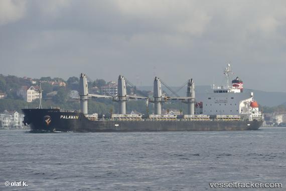
Vessel AMIRA MARYANA IMO: 9379650, MMSI: 268237000 General Cargo
UTC, 36.93053, 7.82838, course: 238, speed: 0
UTC, 36.92890, 7.82871, course: 302, speed: 0
2026-03-14 15:30:04 UTC, 36.92815, 7.82759, course: 351, speed: 0
Live Vessel AMIRA MARYANA Analytics (details, animations, etc.)
Live AIS position: UTC. Near Annaba), updated 2026-03-14 15:30:04 UTC.Find the position of the vessel AMIRA MARYANA on the map. The latter are known coordinates and path.
marine traffic ship tracker show on live map
The current position of vessel AMIRA MARYANA is 36.92815 lat / 7.82759 lng. Updated: 2026-03-14 15:30:04 UTCCurrently sailing under the flag of San Marino
Details:
Last coordinates of the vessel:
UTC, 36.93095, 7.82833, course: 217, speed: 0UTC, 36.93053, 7.82838, course: 238, speed: 0
UTC, 36.92890, 7.82871, course: 302, speed: 0
2026-03-14 15:30:04 UTC, 36.92815, 7.82759, course: 351, speed: 0