 vesseltracker.com
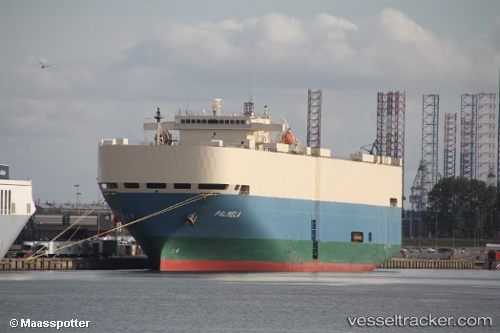
Vessel Palmela IMO: 9207388, MMSI: 351340000 Vehicles Carrier
UTC, 8.01422, 140.17114, course: 151, speed: 17.9
UTC, 7.57873, 140.39418, course: 144, speed: 18.2
2026-01-30 23:51:08 UTC, 6.98172, 140.74368, course: 148, speed: 17.9
Live AIS position:
UTC. 72 nm S of Sorol Atoll),
updated 2026-01-30 23:51:08 UTC.
Find the position of the vessel Palmela on the map. The latter are known coordinates and path.
marine traffic ship tracker show on live map
The current position of vessel Palmela is 6.98172 lat / 140.74368 lng. Updated: 2026-01-30 23:51:08 UTCDetails:
Last coordinates of the vessel:
UTC, 8.52058, 139.86806, course: 149, speed: 18.3UTC, 8.01422, 140.17114, course: 151, speed: 17.9
UTC, 7.57873, 140.39418, course: 144, speed: 18.2
2026-01-30 23:51:08 UTC, 6.98172, 140.74368, course: 148, speed: 17.9