 vesseltracker.com
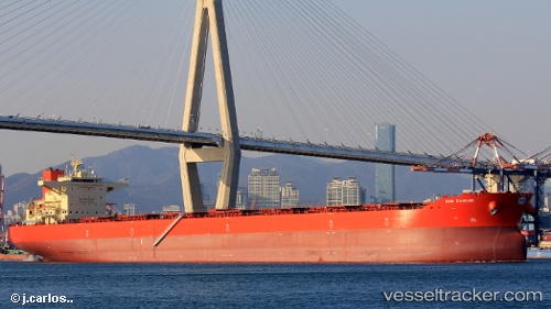
Vessel Pan Dangjin IMO: 9722118, MMSI: 538007318 Bulk Carrier
UTC, 12.46215, -73.00650, course: 226, speed: 11.5
UTC, 12.20553, -73.27239, course: 224, speed: 10.9
2026-01-31 08:14:52 UTC, 11.81284, -73.71998, course: 231, speed: 11
Live AIS position:
UTC. 45 nm NE of Santa Marta),
updated 2026-01-31 08:14:52 UTC.
Find the position of the vessel Pan Dangjin on the map. The latter are known coordinates and path.
marine traffic ship tracker show on live map
The current position of vessel Pan Dangjin is 11.81284 lat / -73.71998 lng. Updated: 2026-01-31 08:14:52 UTCDetails:
Last coordinates of the vessel:
UTC, 12.66092, -72.78336, course: 230, speed: 12UTC, 12.46215, -73.00650, course: 226, speed: 11.5
UTC, 12.20553, -73.27239, course: 224, speed: 10.9
2026-01-31 08:14:52 UTC, 11.81284, -73.71998, course: 231, speed: 11