 vesseltracker.com
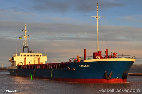
Vessel Panagia Xenia IMO: 8016902, MMSI: 241328000 Multi Purpose Carrier
UTC, 37.96085, 23.56744, course: 184, speed: 0
UTC, 37.96086, 23.56745, course: 184, speed: 0
2026-01-30 12:00:47 UTC, 37.96085, 23.56743, course: 186, speed: 0
Live AIS position:
UTC. Near PERAMA),
updated 2026-01-30 12:00:47 UTC.
Find the position of the vessel Panagia Xenia on the map. The latter are known coordinates and path.
marine traffic ship tracker show on live map
The current position of vessel Panagia Xenia is 37.96085 lat / 23.56743 lng. Updated: 2026-01-30 12:00:47 UTCCurrently sailing under the flag of Greece
Panagia Xenia built in 1981 year
Deadweight:
2668 tDetails:
Last coordinates of the vessel:
UTC, 37.96085, 23.56743, course: 184, speed: 0UTC, 37.96085, 23.56744, course: 184, speed: 0
UTC, 37.96086, 23.56745, course: 184, speed: 0
2026-01-30 12:00:47 UTC, 37.96085, 23.56743, course: 186, speed: 0