 vesseltracker.com
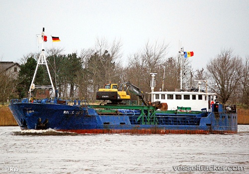
Vessel Panormitis IMO: 8012839, MMSI: 240869000 General Cargo Ship
UTC, 39.34887, 22.93162, course: -1, speed: 0
UTC, 39.34887, 22.93163, course: -1, speed: 0
2026-01-28 22:06:01 UTC, 39.34887, 22.93162, course: -1, speed: 0
Live AIS position:
UTC. Near Volos),
updated 2026-01-28 22:06:01 UTC.
Find the position of the vessel Panormitis on the map. The latter are known coordinates and path.
marine traffic ship tracker show on live map
The current position of vessel Panormitis is 39.34887 lat / 22.93162 lng. Updated: 2026-01-28 22:06:01 UTCCurrently sailing under the flag of Greece
Panormitis built in 1981 year
Deadweight:
825 tDetails:
Last coordinates of the vessel:
UTC, 39.34887, 22.93162, course: -1, speed: 0UTC, 39.34887, 22.93162, course: -1, speed: 0
UTC, 39.34887, 22.93163, course: -1, speed: 0
2026-01-28 22:06:01 UTC, 39.34887, 22.93162, course: -1, speed: 0