 vesseltracker.com
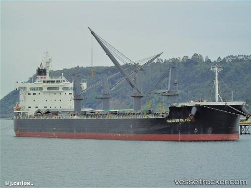
Vessel Paradise Island IMO: 9623764, MMSI: 352367000 Bulk Carrier
Live AIS position:
UTC. Near Taixing),
updated 2024-04-29 06:52:55 UTC.
Find the position of the vessel Paradise Island on the map. The latter are known coordinates and path.
marine traffic ship tracker show on live map
The current position of vessel Paradise Island is 32.03506 lat / 119.94385 lng. Updated: 2024-04-29 06:52:55 UTCCurrently sailing under the flag of Panama
Details:
Last coordinates of the vessel:
2024-04-29 06:52:55 UTC, 32.03506, 119.94385, course: 150, speed: 14.5