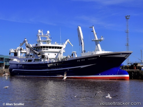
vessel Pathway IMO: 9763095, Fishing Vessel
vesseltracker.com
Vessel Pathway IMO: 9763095, Fishing Vessel
MMSI: 232006506 callsign: MAPY2 size: 78x16

Find the position of the vessel Pathway on the map. The latter are known coordinates and path.

marine traffic ship tracker show on live map

The current position of vessel Pathway is 57.5014 lat / -1.77415 lng. Updated: 2024-04-24 16:27:54 UTC

Currently sailing under the flag of United Kingdom

Gross tonnage:
2935
Service entry:
2017-01-01T00:00:00Z

Manufacturer:
Karstensens Skibsværft (danish shipyard)

Details:


Last coordinates of the vessel:
UTC, 57.5015, -1.77412, course: 340, speed: 0
UTC, 57.5015, -1.77411, course: 341, speed: 0
UTC, 57.5015, -1.77414, course: 340, speed: 0
2024-04-24 16:27:54 UTC, 57.5014, -1.77415, course: 340, speed: 0

Track of the vessel in the last 14 days


Most frequent ports a vessels calls at Pathway (232006506):

Pentland Firth, traffic: 13
Hirtshals, traffic: 3
Stornoway, traffic: 1

Link to the map:


Find another ship

Pathway (232006506) last ports (portcalls and passsages)

Pentland Firth | 2024-04-08 03:49:23
Pentland Firth | 2024-02-23 15:16:15
Pentland Firth | 2024-02-17 09:15:37
Pentland Firth | 2024-02-09 17:20:28
Pentland Firth | 2024-02-05 04:56:07
Pentland Firth | 2024-01-29 05:13:42
Pentland Firth | 2024-01-22 18:47:31
Pentland Firth | 2023-04-17 03:58:31
Pentland Firth | 2023-04-12 15:55:55
Stornoway | 2023-04-09 10:02:30
Pentland Firth | 2023-02-24 05:09:53
Pentland Firth | 2023-01-30 05:40:59
Pentland Firth | 2023-01-16 05:25:59
Hirtshals | 2022-05-30 10:49:42
Hirtshals | 2022-05-21 05:06:01
Hirtshals | 2022-05-17 05:05:35
Pentland Firth | 2022-01-24 06:00:06