 vesseltracker.com
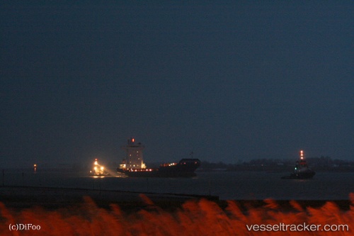
Vessel Pavo J IMO: 9355458, MMSI: 305055000 Container Ship
UTC, 53.34546, -6.20013, course: 5, speed: 0
UTC, 53.34546, -6.20011, course: 4, speed: 0.1
2026-01-31 00:26:12 UTC, 53.34546, -6.20013, course: 4, speed: 0
Live AIS position:
UTC. Near Dublin),
updated 2026-01-31 00:26:12 UTC.
Find the position of the vessel Pavo J on the map. The latter are known coordinates and path.
marine traffic ship tracker show on live map
The current position of vessel Pavo J is 53.34546 lat / -6.20013 lng. Updated: 2026-01-31 00:26:12 UTCCurrently sailing under the flag of Antigua Barbuda
Pavo J built in 2007 year
Deadweight:
11180 tDetails:
Last coordinates of the vessel:
UTC, 53.34546, -6.20012, course: 4, speed: 0.1UTC, 53.34546, -6.20013, course: 5, speed: 0
UTC, 53.34546, -6.20011, course: 4, speed: 0.1
2026-01-31 00:26:12 UTC, 53.34546, -6.20013, course: 4, speed: 0