 vesseltracker.com
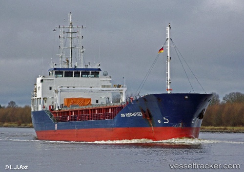
Vessel Peak Dublin IMO: 9518414, MMSI: 304057000 Multi Purpose Carrier
UTC, 7.88852, -55.71207, course: 301, speed: 14
UTC, 8.08053, -56.01799, course: 301, speed: 13.7
2026-02-01 01:28:25 UTC, 8.31194, -56.39686, course: 301, speed: 13.3
Live AIS position:
UTC. 131 nm NE of New Amsterdam),
updated 2026-02-01 01:28:25 UTC.
Find the position of the vessel Peak Dublin on the map. The latter are known coordinates and path.
marine traffic ship tracker show on live map
The current position of vessel Peak Dublin is 8.31194 lat / -56.39686 lng. Updated: 2026-02-01 01:28:25 UTCCurrently sailing under the flag of Antigua Barbuda
Peak Dublin built in 2010 year
Deadweight:
4496 tDetails:
Last coordinates of the vessel:
UTC, 7.58196, -55.21056, course: 303, speed: 15.1UTC, 7.88852, -55.71207, course: 301, speed: 14
UTC, 8.08053, -56.01799, course: 301, speed: 13.7
2026-02-01 01:28:25 UTC, 8.31194, -56.39686, course: 301, speed: 13.3