 vesseltracker.com
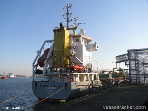
Vessel Peak Sauda IMO: 9187136, MMSI: 245871000 Multi Purpose Carrier
UTC, 58.21131, 10.20922, course: 188, speed: 6.9
UTC, 57.94793, 10.09161, course: 181, speed: 8.7
2026-02-01 04:09:31 UTC, 57.69506, 9.98331, course: 175, speed: 7.4
Live AIS position:
UTC. Near Hirtshals),
updated 2026-02-01 04:09:31 UTC.
Find the position of the vessel Peak Sauda on the map. The latter are known coordinates and path.
marine traffic ship tracker show on live map
The current position of vessel Peak Sauda is 57.69506 lat / 9.98331 lng. Updated: 2026-02-01 04:09:31 UTCCurrently sailing under the flag of Netherlands
Peak Sauda built in 1999 year
Deadweight:
5049 tDetails:
Last coordinates of the vessel:
UTC, 58.46211, 10.32248, course: 190, speed: 7.3UTC, 58.21131, 10.20922, course: 188, speed: 6.9
UTC, 57.94793, 10.09161, course: 181, speed: 8.7
2026-02-01 04:09:31 UTC, 57.69506, 9.98331, course: 175, speed: 7.4