 vesseltracker.com
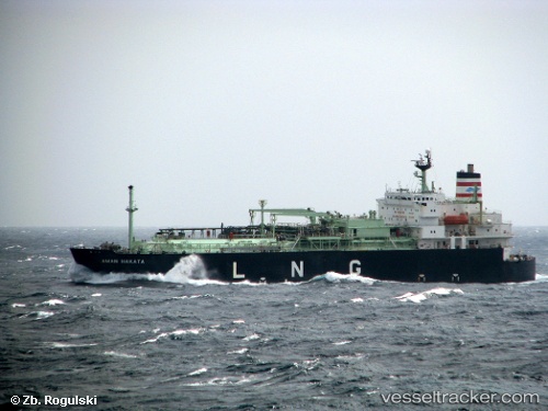
Vessel Pelita Energy IMO: 9161510, MMSI: 525300941 Lng Tanker
UTC, -4.38667, 116.30167, course: -1, speed: 11
UTC, -4.07981, 116.36726, course: 9, speed: 11.5
2026-01-29 21:25:08 UTC, -3.72333, 116.45333, course: -1, speed: 11
Live AIS position:
UTC. 14 nm S of Sebuku Island),
updated 2026-01-29 21:25:08 UTC.
Find the position of the vessel Pelita Energy on the map. The latter are known coordinates and path.
marine traffic ship tracker show on live map
The current position of vessel Pelita Energy is -3.72333 lat / 116.45333 lng. Updated: 2026-01-29 21:25:08 UTCDetails:
Last coordinates of the vessel:
UTC, -4.48536, 115.89086, course: 84, speed: 12.1UTC, -4.38667, 116.30167, course: -1, speed: 11
UTC, -4.07981, 116.36726, course: 9, speed: 11.5
2026-01-29 21:25:08 UTC, -3.72333, 116.45333, course: -1, speed: 11