 vesseltracker.com
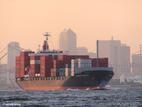
Vessel Penang Bridge IMO: 9470753, MMSI: 351639000 Container Ship
UTC, 33.94747, 35.53790, course: 140, speed: 0.9
UTC, 33.93523, 35.55032, course: 189, speed: 0.7
2026-01-31 05:11:19 UTC, 33.90943, 35.53140, course: 94, speed: 0
Live AIS position:
UTC. Near Beirut),
updated 2026-01-31 05:11:19 UTC.
Find the position of the vessel Penang Bridge on the map. The latter are known coordinates and path.
marine traffic ship tracker show on live map
The current position of vessel Penang Bridge is 33.90943 lat / 35.53140 lng. Updated: 2026-01-31 05:11:19 UTCCurrently sailing under the flag of Panama
Penang Bridge built in 2009 year
Deadweight:
21927 tDetails:
Last coordinates of the vessel:
UTC, 34.07223, 34.80837, course: 112, speed: 16.6UTC, 33.94747, 35.53790, course: 140, speed: 0.9
UTC, 33.93523, 35.55032, course: 189, speed: 0.7
2026-01-31 05:11:19 UTC, 33.90943, 35.53140, course: 94, speed: 0