 vesseltracker.com
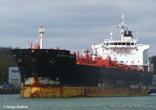
Vessel Perseus N IMO: 9425497, MMSI: 636016315 Crude Oil Tanker
UTC, 43.69667, -66.62167, course: -1, speed: 10
UTC, 43.47333, -67.24166, course: -1, speed: 10
2026-01-26 23:15:10 UTC, 43.41000, -67.37833, course: -1, speed: 9
Live AIS position:
UTC. 59 nm W of Chebogue Point),
updated 2026-01-26 23:15:10 UTC.
Find the position of the vessel Perseus N on the map. The latter are known coordinates and path.
marine traffic ship tracker show on live map
The current position of vessel Perseus N is 43.41000 lat / -67.37833 lng. Updated: 2026-01-26 23:15:10 UTCCurrently sailing under the flag of Liberia
Perseus N built in 2009 year
Deadweight:
36264 tDetails:
Last coordinates of the vessel:
UTC, 43.59853, -66.51251, course: 26, speed: 9.8UTC, 43.69667, -66.62167, course: -1, speed: 10
UTC, 43.47333, -67.24166, course: -1, speed: 10
2026-01-26 23:15:10 UTC, 43.41000, -67.37833, course: -1, speed: 9