 vesseltracker.com
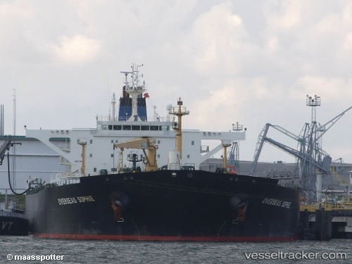
Vessel Petrogaruda IMO: 9248837, MMSI: 525107012 Crude Oil Tanker
Live AIS position:
UTC. Near Tanjungbalai),
updated 2025-09-23 04:28:59 UTC.
Find the position of the vessel Petrogaruda on the map. The latter are known coordinates and path.
marine traffic ship tracker show on live map
The current position of vessel Petrogaruda is 1.14968 lat / 103.36423 lng. Updated: 2025-09-23 04:28:59 UTCCurrently sailing under the flag of Indonesia
Petrogaruda built in 2003 year
Deadweight:
112045 tDetails:
Last coordinates of the vessel:
2025-09-23 04:28:59 UTC, 1.14968, 103.36423, course: -1, speed: 4.9