 vesseltracker.com
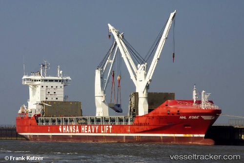
Vessel Pietersgracht IMO: 9448384, MMSI: 244121000 Multi Purpose Carrier
UTC, 28.88389, -89.32303, course: 81, speed: 0.1
UTC, 28.88333, -89.32167, course: -1, speed: 0
2026-01-27 21:36:10 UTC, 28.88333, -89.32167, course: -1, speed: 0
Live AIS position:
UTC. Near Southwest Pass),
updated 2026-01-27 21:36:10 UTC.
Find the position of the vessel Pietersgracht on the map. The latter are known coordinates and path.
marine traffic ship tracker show on live map
The current position of vessel Pietersgracht is 28.88333 lat / -89.32167 lng. Updated: 2026-01-27 21:36:10 UTCCurrently sailing under the flag of Netherlands
Pietersgracht built in 2011 year
Deadweight:
19863 tDetails:
Last coordinates of the vessel:
UTC, 28.88347, -89.32292, course: 74, speed: 0UTC, 28.88389, -89.32303, course: 81, speed: 0.1
UTC, 28.88333, -89.32167, course: -1, speed: 0
2026-01-27 21:36:10 UTC, 28.88333, -89.32167, course: -1, speed: 0