 vesseltracker.com
Find the position of the vessel Ping An Hai Tai on the map. The latter are known coordinates and path.
marine traffic ship tracker show on live map
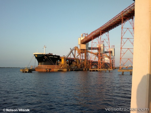
The current position of vessel Ping An Hai Tai is 38.93875 lat / 118.14905 lng. Updated: 2025-11-05 06:23:03 UTCCurrently sailing under the flag of China
Ping An Hai Tai built in 1999 year
Deadweight:
75542 tDetails:
Last coordinates of the vessel:
UTC, 38.94048, 118.14598, course: 158, speed: 0UTC, 38.94040, 118.14669, course: 175, speed: 0.1
UTC, 38.93928, 118.14895, course: 256, speed: 0
2025-11-05 06:23:03 UTC, 38.93875, 118.14905, course: 270, speed: 0