 vesseltracker.com
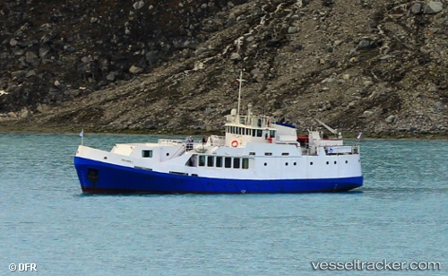
Find the position of the vessel Polaris I on the map. The latter are known coordinates and path.
marine traffic ship tracker show on live map
The current position of vessel Polaris I is 79.341 lat / 11.7557 lng. Updated: 2025-07-10 09:28:21 UTCDetails:
Last coordinates of the vessel:
UTC, 79.3412, 11.7559, course: 28, speed: 0.1UTC, 79.341, 11.7558, course: 3, speed: 0
UTC, 79.341, 11.7558, course: 357, speed: 0
2025-07-10 09:28:21 UTC, 79.341, 11.7557, course: 16, speed: 0.1