 vesseltracker.com
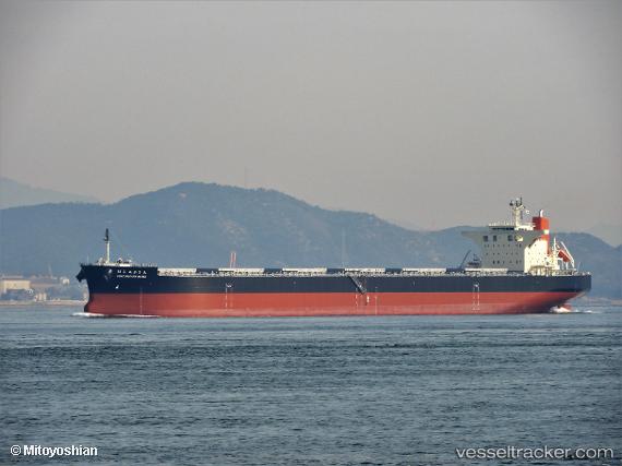
Vessel Poro Nupuri Maru IMO: 9837303, MMSI: 636019016 Bulk Carrier
UTC, -6.05847, 153.59837, course: 353, speed: 9.3
UTC, -6.00150, 153.58006, course: 354, speed: 10
2026-02-01 02:25:28 UTC, -5.55598, 153.51147, course: 346, speed: 10
Live AIS position:
UTC. 61 nm SE of Lambom Island),
updated 2026-02-01 02:25:28 UTC.
Find the position of the vessel Poro Nupuri Maru on the map. The latter are known coordinates and path.
marine traffic ship tracker show on live map
The current position of vessel Poro Nupuri Maru is -5.55598 lat / 153.51147 lng. Updated: 2026-02-01 02:25:28 UTCDetails:
Last coordinates of the vessel:
UTC, -6.40436, 153.65729, course: 355, speed: 10.3UTC, -6.05847, 153.59837, course: 353, speed: 9.3
UTC, -6.00150, 153.58006, course: 354, speed: 10
2026-02-01 02:25:28 UTC, -5.55598, 153.51147, course: 346, speed: 10