 vesseltracker.com
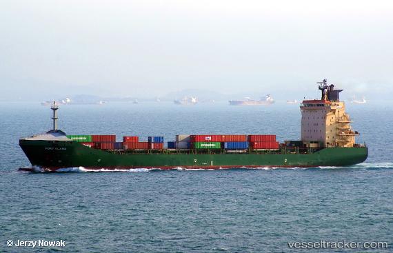
Find the position of the vessel Port Klang on the map. The latter are known coordinates and path.
marine traffic ship tracker show on live map
The current position of vessel Port Klang is -26.746740341186523 lat / -33.774845123291016 lng. Updated: 2025-07-18 01:28:37 UTCDetails:
Last coordinates of the vessel:
2025-07-18 01:28:37 UTC, -26.746740341186523, -33.774845123291016, course: 57, speed: 11.9