 vesseltracker.com
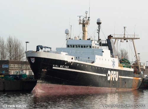
Vessel Princesa Santa Joana IMO: 7234636, MMSI: 263588000 Fishing Vessel
UTC, 46.28255, -47.33602, course: 26, speed: 4.2
UTC, 46.42833, -47.25803, course: 356, speed: 4
2026-02-01 19:43:41 UTC, 46.52020, -47.24943, course: 353, speed: 4.3
Live AIS position:
UTC. 35 nm SE of White Rose Field),
updated 2026-02-01 19:43:41 UTC.
Find the position of the vessel Princesa Santa Joana on the map. The latter are known coordinates and path.
marine traffic ship tracker show on live map
The current position of vessel Princesa Santa Joana is 46.52020 lat / -47.24943 lng. Updated: 2026-02-01 19:43:41 UTCDetails:
Last coordinates of the vessel:
UTC, 46.29951, -47.31479, course: 222, speed: 9.6UTC, 46.28255, -47.33602, course: 26, speed: 4.2
UTC, 46.42833, -47.25803, course: 356, speed: 4
2026-02-01 19:43:41 UTC, 46.52020, -47.24943, course: 353, speed: 4.3