 vesseltracker.com
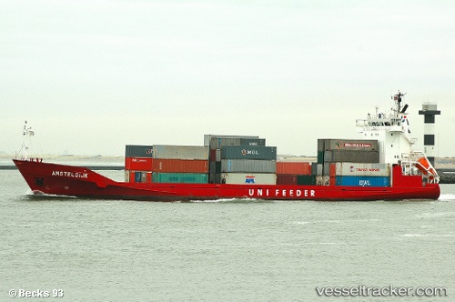
Vessel Progreso IMO: 9274264, MMSI: 209729000 General Cargo Ship
UTC, 28.79667, -86.41833, course: -1, speed: 11
UTC, 28.34500, -86.58167, course: -1, speed: 11
2026-02-06 00:03:23 UTC, 28.02167, -86.67833, course: -1, speed: 11
Live AIS position:
UTC. 129 nm SW of Port Saint Joe),
updated 2026-02-06 00:03:23 UTC.
Find the position of the vessel Progreso on the map. The latter are known coordinates and path.
marine traffic ship tracker show on live map
The current position of vessel Progreso is 28.02167 lat / -86.67833 lng. Updated: 2026-02-06 00:03:23 UTCCurrently sailing under the flag of Cyprus
Progreso built in 2005 year
Deadweight:
4711 tDetails:
Last coordinates of the vessel:
UTC, 29.06167, -86.31833, course: -1, speed: 11UTC, 28.79667, -86.41833, course: -1, speed: 11
UTC, 28.34500, -86.58167, course: -1, speed: 11
2026-02-06 00:03:23 UTC, 28.02167, -86.67833, course: -1, speed: 11