 vesseltracker.com
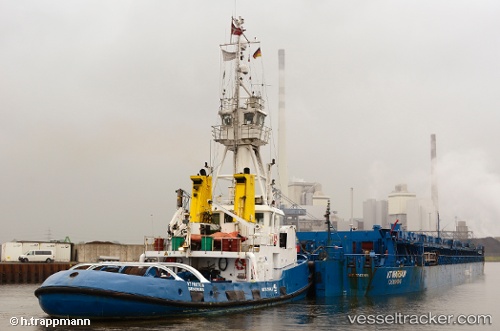
Vessel Raduga Proton IMO: 8131116, MMSI: 209658000 Pusher Tug
UTC, 54.44202, 18.80187, course: 138, speed: 0.6
UTC, 54.44254, 18.80249, course: 132, speed: 0.5
2026-02-01 07:30:44 UTC, 54.44106, 18.80146, course: 111, speed: 0.6
Live AIS position:
UTC. Near Górki Zachodnie),
updated 2026-02-01 07:30:44 UTC.
Find the position of the vessel Raduga Proton on the map. The latter are known coordinates and path.
marine traffic ship tracker show on live map
The current position of vessel Raduga Proton is 54.44106 lat / 18.80146 lng. Updated: 2026-02-01 07:30:44 UTCCurrently sailing under the flag of Cyprus
Raduga Proton built in 1983 year
Deadweight:
147 tDetails:
Last coordinates of the vessel:
UTC, 54.44270, 18.80290, course: 135, speed: 0.5UTC, 54.44202, 18.80187, course: 138, speed: 0.6
UTC, 54.44254, 18.80249, course: 132, speed: 0.5
2026-02-01 07:30:44 UTC, 54.44106, 18.80146, course: 111, speed: 0.6