 vesseltracker.com
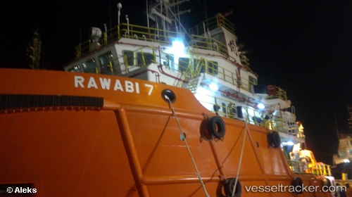
Find the position of the vessel RAWABI 7 on the map. The latter are known coordinates and path.
marine traffic ship tracker show on live map
The current position of vessel RAWABI 7 is 28.3422 lat / 49.2226 lng. Updated: 2024-04-26 10:35:04 UTCCurrently sailing under the flag of Saudi Arabia
RAWABI 7 built in 2012 year
Deadweight:
1298 tPayload_mass:
1295 tonneGross tonnage:
1678Service entry:
2012-01-01T00:00:00ZDetails:
Last coordinates of the vessel:
UTC, 28.3392, 49.2168, course: 353, speed: 0.6UTC, 28.3414, 49.2219, course: 325, speed: 0
UTC, 28.3423, 49.2225, course: 323, speed: 0
2024-04-26 10:35:04 UTC, 28.3422, 49.2226, course: 326, speed: 0.1